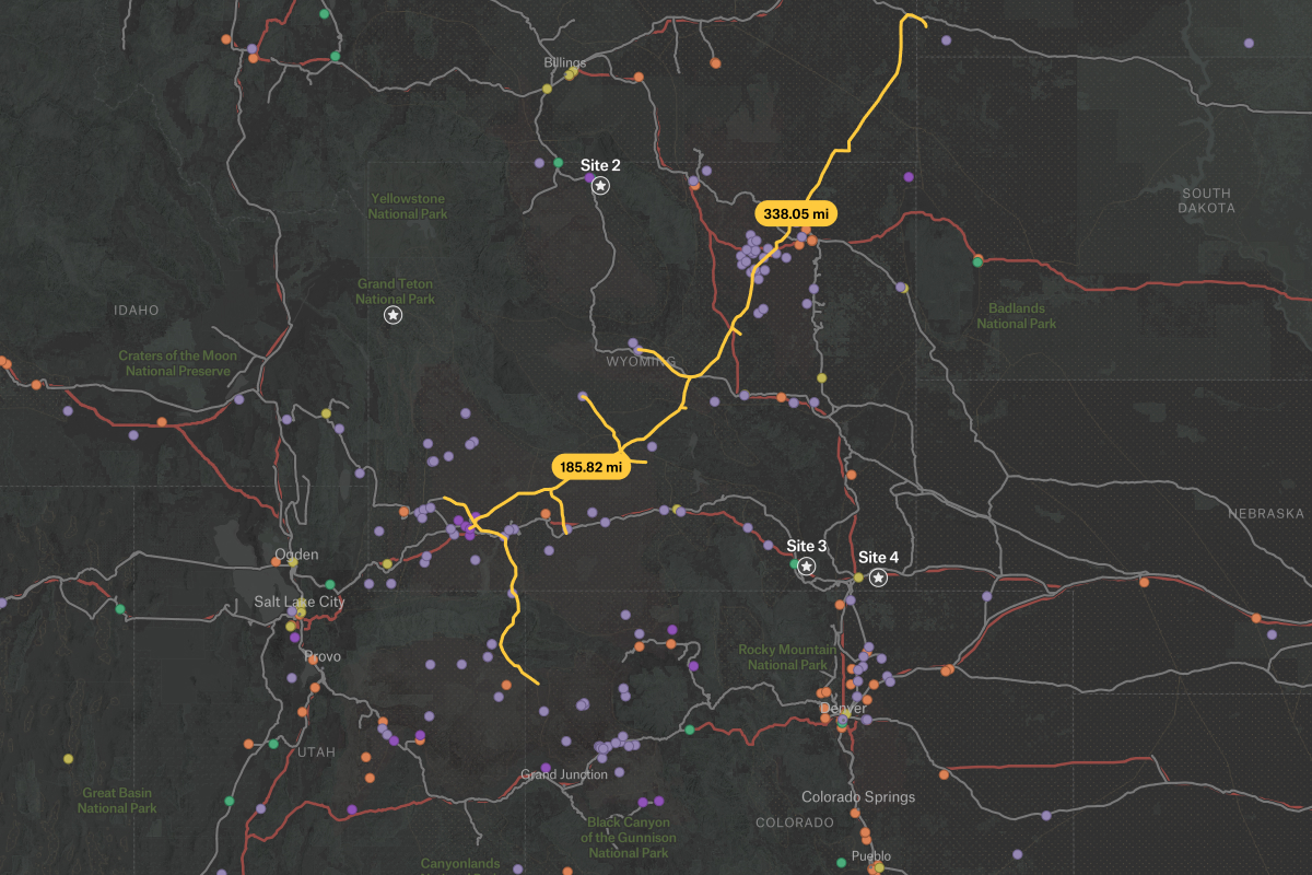
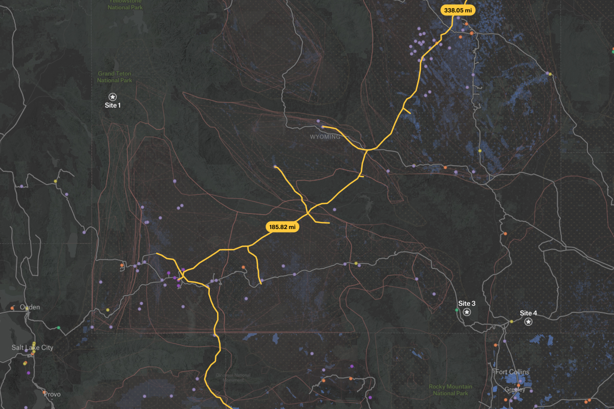
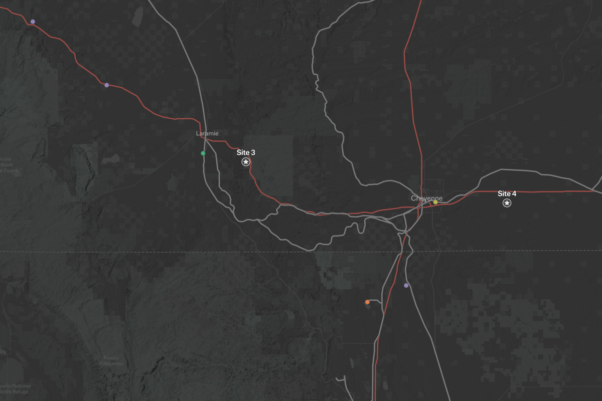
This map combines essential data for carbon capture and storage site selection. It shows existing CO2 pipeline infrastructure, geological storage options, transportation corridors and major emission sources. With Â鶹´ĺ's interactive layers you can explore the relationships between potential storage sites, infrastructure networks, and industrial emitters. By integrating these critical factors, this map provides a foundation for identifying and evaluating promising carbon capture project locations. Data sources include the Carbon Storage Open Database from the National Energy Technology Laboratory (NETL).